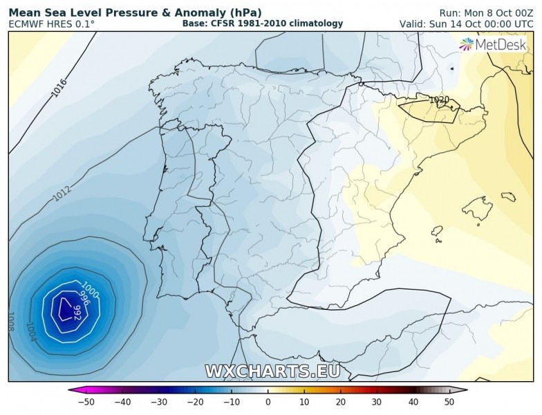
 Currently classified as a Tropical Storm, Leslie is expected to become a hurricane in two days time as it heads towards Madeira, or midway between the Azores and the Canary Islands, late on Thursday before heading to west-southwest Europe this coming weekend.
Potential exists for landfall in Portugal or even Ireland on Sunday. The computer modelling will become more accurate as time goes by, but Leslie is being monitored and warnings soon may need to be issued by Portugal's weather service and Civil Defence authority.
Leslie’s track is still quite uncertain based on global models but its strength is more certain, Tropical Storm level until landfall, when it is very likely to become a hurricane and continue as a strong system towards Europe.
Leslie is picking up energy from warmer seas as it travels, hence it should hit hurricane force by Wednesday before it accelerates northeast, likely towards Portugal.
One of the European modelling programmes pushes Leslie towards the Iberian peninsula this weekend with landfall in the Algarve on Sunday. The American GFS computer modelling system puts Leslie west of Iberia as it heads northeast where it should hit Ireland, also on Sunday.


